How are caves made? On this week’s virtual field trip, we’ll ask a Cave Interpreter about it! Then we’ll visit a “rock shelter” right here in southeast Ohio. It turns out that our rock shelters were formed in a completely different way than underground caves most people know about.
Sometimes we call rock shelters “caves.” For example
, you might have visited Old Man’s Cave in the Hocking Hills. Old Man’s Cave is actually a rock shelter. True caves are completely underground, but Old Man’s Cave is open to the air.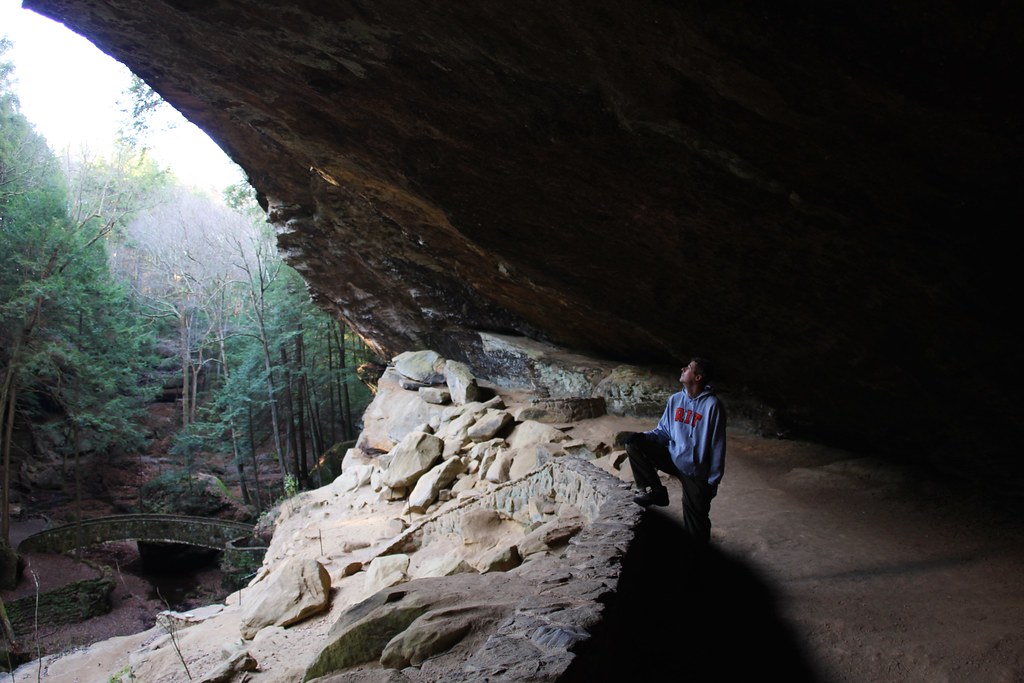
CHOICES FOR LEARNING ABOUT CAVES AND ROCK SHELTERS
Attend the virtual field trip, Friday, Nov. 6 at 10:30. See Wind Cave and an Ohio rock shelter.
Learn about erosion and rock formations in Hocking Hills: Watch these fun videos from Camp Oty’Okwa.
Look for evidence of erosion, weathering and deposition: Take a walk, or draw a picture!
Virtual Field Trip: Friday, Nov. 6 at 10:30 am
Friday, October 23, 10:30am
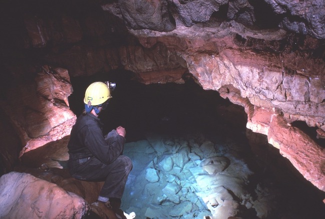
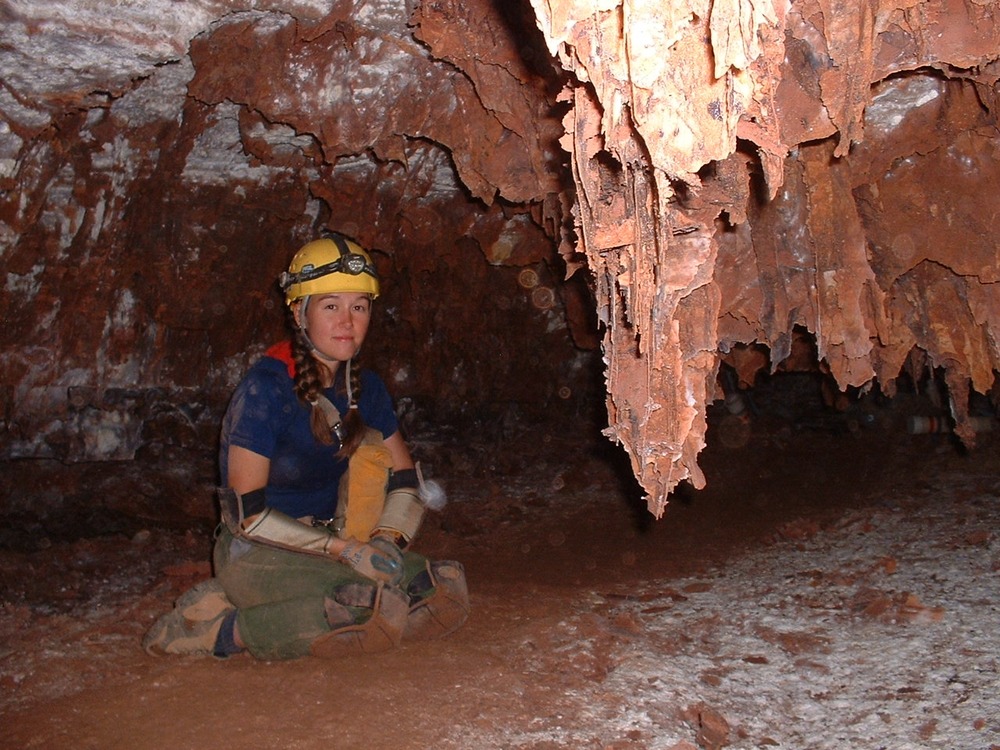
Every Friday from 10:30 to 11:15 am, we hold a Zoom call live from the woods. This week, we’ll meet a Cave Interpreter, and visit a rock shelter here in Southeast Ohio.
If you haven’t registered for our fall field trips yet, visit here:
You’ll receive the Zoom link for our virtual field trips in your email.
~~We’ll post the recording of the field trip here the following Monday~~
Long Live Rock (Shelters)! The story of the Hocking Hills
First, let’s take a big jump back in time. Can you imagine most of Ohio covered in ice? Millions of years ago, it was!
A glacier is a huge, slow-moving sheet of ice. As glaciers moved across the land, they left their mark on the landscape. Many of Ohio’s landforms, which are features that you can see on the surface of the Earth, were created by glaciers.
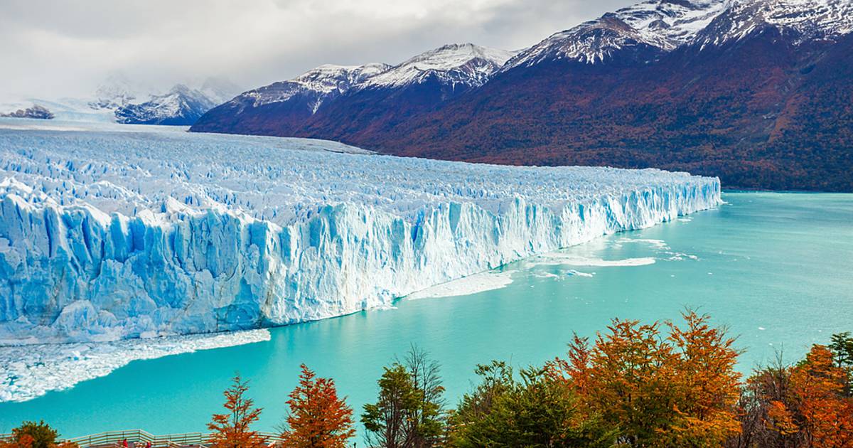
If you live in southeast Ohio, you live in the part of Ohio that is “unglaciated” . That just means the glacier didn’t go through that area. Take a journey with Miranda to see some of southeast Ohio’s geology and how it was created.

The structure in the video is commonly called a rock shelter. A rock shelter is a shallow cave-like opening at the base of a bluff or cliff. This is different from other landforms such as caves because it doesn’t go underground. In the next video
, we will see a fun example of how a structure like this is created.In this next video we will explore what erosion, weathering, and deposition and what their impact on the land is. Here is a chart that explains each:

So now we know what weathering is! Let’s explore the 3 different kinds of weathering.
Here are some examples to think about:
Physical weathering: rust on a tool that was left outside
Biological weathering: weeds coming up through a sidewalk
Chemical weathering: old gravestones disintegrating
In the second video, we did the Oreo cookie example. Miranda talked about how some of the rock was softer than the other. Click on the next video to see a cool experiment with some of the rocks from the rock shelter.
Thank you for watching! Make sure you go out and practice spotting erosion, weathering, and deposition in your area!
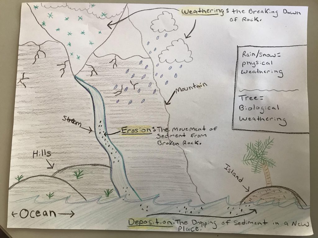
Art Activity: Draw what you learned
- Using what you learned in the lesson, draw a picture that includes weathering, erosion, and depositions and as many landforms as you want. Make sure everything is labeled. I attached my example:
On Your Own: Take an Erosion Walk!
Now that you’ve learned about how rocks change, it’s time to take a walk outside! Erosion and weathering doesn’t always look like big rock shelters or cliffs. It can also happen to the soil in your yard, along sidewalks or construction sites, on the edges of creeks…any soil or rock might be affected!
Review some of the words you learned above, and hunt for signs of:
- erosion
- physical weathering
- biological weathering
- chemical weathering
- deposition.
Tell us what you find or share a photo in the comments!
